လက်ပံရွာ၊ သန်လျင်
လက်ပံ
| လက်ပံ | |
|---|---|
 လက်ပံ | |
| ကိုဩဒိနိတ်: MM 16.83993°N 96.33855°E | |
| နိုင်ငံ | |
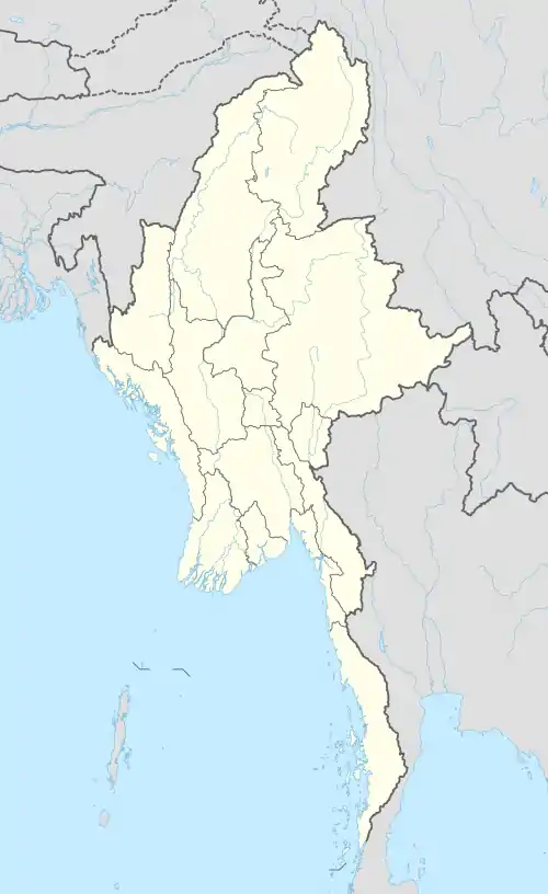
| တိုင်းဒေသကြီး | ရန်ကုန်တိုင်းဒေသကြီး |
| ခရိုင် | ရန်ကုန် (တောင်ပိုင်း) |
| မြို့နယ် | သန်လျင် |
| ကျေးရွာအုပ်စု | Yone Tha Pyay Kan[1] |
ကိုးကား
- GAD, Feb 2011.
မြို့တော် : ရန်ကုန်မြို့ မြို့နယ်ပေါင်း : (၄၆) မြို့နယ် | ||
| ရန်ကုန်အနောက်ပိုင်းခရိုင် | 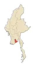 | |
| ရန်ကုန်အရှေ့ပိုင်းခရိုင် | ||
| ရန်ကုန်မြောက်ပိုင်းခရိုင် |
| |
| ရန်ကုန်တောင်ပိုင်းခရိုင် | ||
| မြို့များ | ||
| ပြည်နယ်များ | ||
|---|---|---|
| တိုင်းဒေသကြီးများ | ||
| ကိုယ်ပိုင်အုပ်ချုပ်ခွင့်ရဒေသများ | ||
| ကိုယ်ပိုင်အုပ်ချုပ်ခွင့်ရတိုင်း | ||
| ပြည်ထောင်စုနယ်မြေ | ||
တမ်းပလိတ်:မြန်မာနိုင်ငံ-geo-stub
This article is issued from Wikipedia. The text is licensed under Creative Commons - Attribution - Sharealike. Additional terms may apply for the media files.