င/တောင်တက်ရွာ၊ င/တောက်တက်
င/တောင်တက်ရွာ၊ င/တောက်တက်
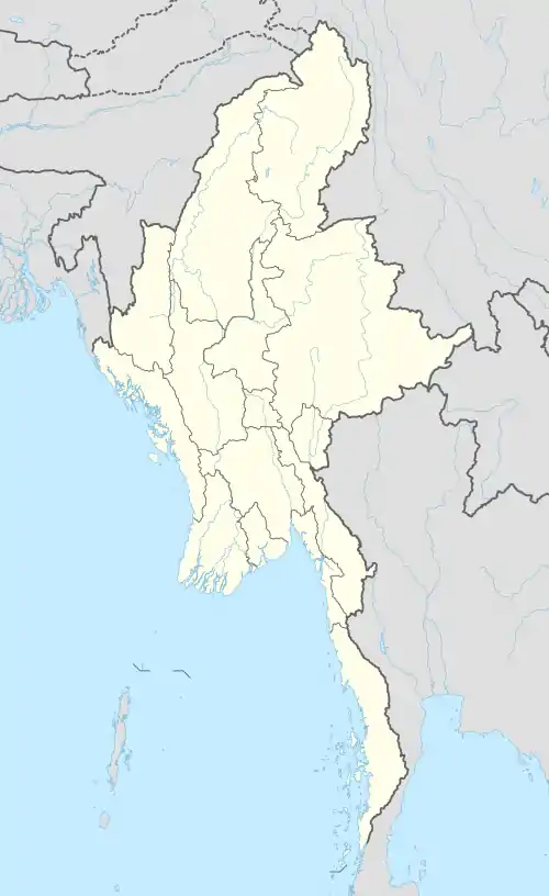
| င/တောင်တက် | |
|---|---|
 င/တောင်တက် | |
| ကိုဩဒိနိတ်: MM 20.26079°N 92.87859°E | |
| နိုင်ငံ | |
| ပြည်နယ် | ရခိုင်ပြည်နယ် |
| ခရိုင် | စစ်တွေခရိုင် |
| မြို့နယ် | စစ်တွေမြို့နယ် |
| ကျေးရွာအုပ်စု | Nga/Tauk Tet[1] |
ကိုးကား
- GAD, Feb 2011.
This article is issued from Wikipedia. The text is licensed under Creative Commons - Attribution - Sharealike. Additional terms may apply for the media files.